Frequently Asked Questions (FAQs)
This section of the User Manual lists the Frequent Asked Questions (FAQ) for the Multi Mission Mapper - mCube.
-
What is mCube?
the Multi Mission Mapper (mCube) is a Processing Environment built by Terradue to provide to users on-line services to access and visualize EO data products. User Manual introduction page can be found at https://docs.mcube.terradue.com.
-
Who can use mCube?
mCube provides a versatile solution that can support different phases of DRM and also be employed as a tool for capacity building with users in international development projects. It is targeted for organisations wanting to have one or more data collections (either owned by them or from open and free sources) hosted on the platform for exploitation and for guaranteeing the long-term preservation of data and processing services results:
-
The data collections are made accessible according to findability, accessibility, interoperability, and reusability (FAIR) principles;
-
The data collections are published in the metadata catalogue for discovery;
-
The data collections are made available for specific combinations of visualisation, processing or download tasks (depending on the dataset type).
To get access to mCube please send an e-mail to connect@terradue.com.
-
-
Is mCube able to process EO data? Is it able to extract geo-information from data?
mCube enables the visualization of EO data as well as a set of processing services, basic and advanced, for Optical and SAR data. The service portfolio of mCube includes pre-Processing, advanced, and specialised processors for specific hazard types
-
Who built mCube?
mCube is developed by Terradue.
-
What is the point of contact concerning User Support?
If experiencing issues in the usage of mCube processing services and toolboxes or would like to report a problem, please send an e-mail to support@terradue.com.
-
How can I access mCube?
The landing page address is: https://www.mcube.terradue.com. Your dedicated workspace is accessible after the login.
-
How many EO missions are supported?
mCube supports a broad range of radar and optical data products of 44 satellites (33 EO missions) from 20 space agencies and data distributors.
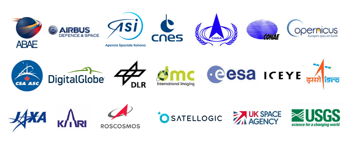
Supported missions are: ALOS-2, AlSat-1B, Cosmo SkyMed, ICEYE-X constellation, KOMPSAT-3, KOMPSAT-3A, Landsat-8, Pleiades-1A, 1B, Sentinel-1A, 1B, Sentinel-2A, 2B, UK-DMC-2, SPOT-6, SPOT-7, RCM constellation, KANOPUS-V, KANOPUS-V-IK, SAOCOM-1A, 1B, TanDEM-X, TerraSAR-X, KOMPSAT-5, Vision-1, VRSS-1, VRSS-2, Gaofen-1, Gaofen-2, Gaofen-3, ResourceSat-2, ResourceSat-2A, Cartosat-2, Worldview-1, Worldview-2, Worldview-3, PlanetScope, GeoEye-1,Satellogic Newsat.
-
Can the user download EO data from mCube?
A user can retrieve the Browse image (GeoTIFF) of the EO data product, but not the original EO data product. In addition, any derived or VA product generated on mCube can be downloaded. Users can download data if they have signed the license and Non Disclosure Agreement (NDA) associated to the concerned EO data.
-
What do I find once connected?
mCube offers specific workspace dedicated to a specific project for the different users to search, view and process EO Data acquisitions over a specific area of the world.
-
What functions and services are available?
The user can explore EO data, search for specific EO data and visualize imagery, visualize single or combined image bands (so called assets) following data calibration, upload external data, access EO processing services and execute processing on-demand, access to basic GIS functions, etc.
-
Does mCube handle specific EO data formats?
mCube provides access to EO data coming from several missions and sensors and provided using different data formats and metadata. To reduce EO data heterogeneity, mCube seeks to pre-process the acquisitions into a common format which, on the one hand, provides a ready-to-inspect and comparable dataset and, on the other, to have downstream processing services that support multi-sensor and multi-mission acquisitions.
-
How can the user retrieve the EO data products?
The user can gather an EO data collection tailored for the specific workspace (e.g. a series of Sentinel-2 tiles over specific areas to be regularly monitored) he/she can use multiple filters to retrieve the desired data from the EO data collection of the activation.
-
Will the user access the original products or only the overview/footprint of the EO product?
Users can visualize the full resolution EO data products generated automatically in mCube as well as the original EO data and process them on-demand to generate a set of EO products according to his/her need. mCube provides the user with directly usable geospatial information with basic services to support image.
Two main types of Assets can be derived from both automatic and on-demand processing services:
-
Visual Products (multiple-band Assets Overview images as grayscale or true & false color RGB composites)
-
Geophysical Products (single-band Assets for TOA reflectance, Brightness Temperature, sigma nought in dB, spectral indexes, burned areas, surface displacements, flood and hotspot bitmasks).
-
-
Is mCube able to calibrate EO data products?
mCube supports two basic scenarios:
-
Systematic - where data ingestion is performed automatically for a given community / stakeholder on top of a data hosting framework or in response to a specific event,
-
Opportunistic - where data ingestion is (manually) triggered by the user in response to a specific need or to complement the automatic ingestion.
In the first scenarion mCube systematically calibrates Optical and SAR EO data. Radiometric calibration workflow employed for multiple optical missions and SAR missions are available at the following links: https://docs.mcube.terradue.com/pre-processing/opt-calibrated-data/, and https://docs.mcube.terradue.com/pre-processing/sar-calibrated-data/.
-
-
Where does users access the results of the processing services they executed?
The user can access the products generated by the processing services in a dedicated and personal section called My Results in the top right of the user workspace.
-
Is it possible to integrate a new EO data service?
The integration of a new EO Service in mCube is possible. The service portfolio of a mCube powered platform can be extended with new applications integrated by Service Providers and made available for exploitation by other users or in their own workflows. The support for application integration considers several levels of data processing integration:
-
Importing: The service/application is directly packaged as a black-box. It relies upon the stage-in/out of data to the applications existing data access expectations by the Processing Framework.
-
Adapting: The service/application is adapted to use the data access interfaces for data input and output.
-
Porting: The service/application is ported to use the platform services by, for example, using the Client Library defined by the common architecture.
The overall integration process allows developers to adapt and package their existing algorithms written in a specific language to be reproducible, deployed and executable in different platforms. The developers create Application Packages encoded in Common Workflow Language (CWL) documents that describe the data processing applications, providing information about the parameters, software item, executable, dependencies and metadata. The processing service deployment follows the best practice to package and deploy Earth Observation Applications in an Exploitation Platform as defined in OGC 20-089.
For more information please contact us at connect@terradue.com.
-